









The Maritime and Coastguard Agency (MCA), the UK agency responsible for maritime safety and coastguard services, has urged shipowners, shipping operators, ports, port authorities and maritime service providers to prepare to operate when satellite navigation signals become unreliable or unavailable. The guidance appears in Marine Guidance Note MGN 719 (M+F), entitled "Operating in GNSS Denied and Degraded Environments", published on the UK Government's website on 1 October 2026. The document covers all global navigation satellite systems (GNSS), including the US GPS, Galileo, GLONASS and BeiDou, as well as the positioning, navigation and timing services that depend on them. The note is advisory: the agency recommends identifying dependencies on satellite data, updating risk assessments, establishing contingency procedures and maintaining the skills needed to navigate using alternative information. It introduces no new obligations and does not suggest abandoning GPS.
The initiative follows a sharp increase in reported interference in recent years, linked to conflicts and concentrated in the Black Sea, the Baltic Sea, the Gulf region and parts of East Asia. The MCA does not attribute the incidents to any particular state or provide figures for their frequency. However, on 26 January 2026, fourteen European countries issued a joint document explicitly identifying the Russian Federation as the source of interference threatening navigation safety in European waters, particularly in the Baltic Sea.
The guidance describes two threats. Intentional signal interference (jamming) degrades or prevents reception, while spoofing transmits falsified data to receivers, producing an incorrect position that nevertheless appears usable. Interference can also affect onboard equipment that relies directly or indirectly on satellite data. Among the systems most exposed, the MCA lists Electronic Chart Display and Information Systems (ECDIS), GNSS receivers, integrated bridges, AIS, radars receiving satellite-derived inputs, track control systems and autopilots, dynamic positioning systems, voyage planning and monitoring systems, gyrocompasses, GMDSS equipment and pilots' portable units. The agency calls for individual assessments of system architectures, data flows and interfaces, noting that communications networks and control systems may also rely on satellite-provided time synchronisation.
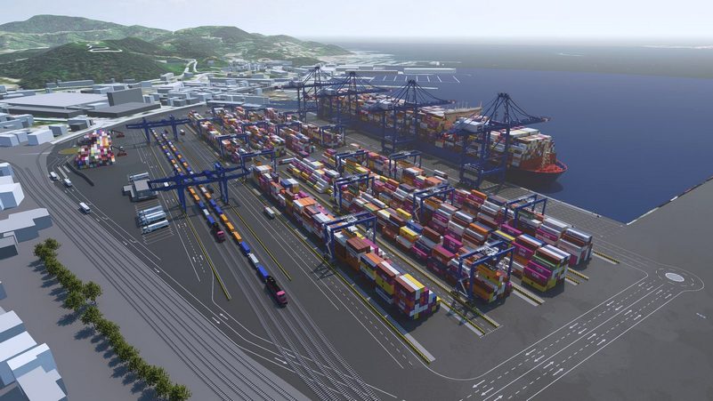
The scope of the guidance extends beyond ships to vessel traffic services, port information systems, pilotage management, search and rescue coordination, long-range tracking, automated logistics and fleet and vehicle management. The MCA cites a 2023 British study estimating that a seven-day interruption of GNSS services would cost the UK £1.5 billion (approximately €1.7 billion). Port operations would account for the largest share, at £1.309 billion (approximately €1.5 billion), compared with £183 million (approximately €210 million) for maritime transport and £8 million (approximately €9 million) for fishing.
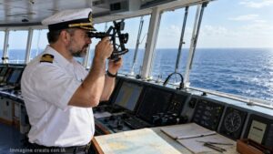
The agency identifies five categories of alternatives to satellite navigation, to be selected according to the vessel, navigation area and onboard equipment: radar-based position fixing, visual navigation, celestial navigation, dead reckoning and the use of independent sensors with integrated navigation techniques. Alongside these skills, the guidance recommends drills, procedures for detecting interference, bridge crew training and business continuity plans. The MCA explains that its approach focuses on resources already available because several alternative or complementary positioning, navigation and timing (PNT) technologies remain under development and are unlikely to be deployed widely in the near future.
The issue had already been raised internationally on 25 March 2025, when the IMO, ICAO and ITU expressed "grave concern" in a joint statement over the increase in jamming and spoofing. The IMO had warned of the risk of collisions and groundings, while the three organisations called on states to protect satellite radionavigation frequencies, strengthen system resilience, maintain conventional navigation infrastructure for emergencies and report interference incidents.
M.G.