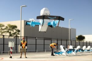
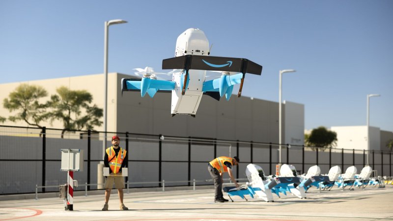


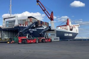

On 17 September 2025 the FS Group signed a three-year memorandum of understanding with Enac to use drones in the supervision of the rail and road network, deploying BVLOS (beyond visual line of sight) flights for inspections in difficult areas, real-time data collection, training, and the development of safety and certification procedures. Implementation will proceed through project agreements and a technical working group with the Group’s operating companies, which will identify use cases in infrastructure and train maintenance, emergency management, station and passenger flow monitoring, and the optimisation of logistics processes.
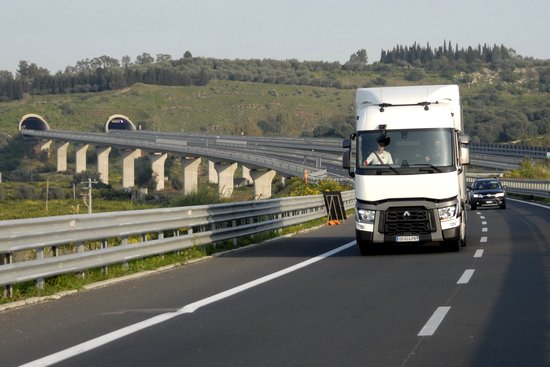
Alongside this protocol between FS and Enac, the motorway operator Autostrade per l’Italia has launched the Falco project to monitor traffic on the A26 and A10 motorways using remote BVLOS operations. Between August 2023 and July 2024, the company carried out 1,407 interventions. These Italian initiatives are part of a fast-evolving European framework in which drone services are expected to reach a market value of 14.5 billion euros and employ 145,000 people by 2030, according to the European Commission.
At European level, on the rail front, the Radius project, financed by the European Space Agency with 2.9 million euros, has developed a fleet of drones to inspect signalling equipment using advanced sensors, wireless communications, and automatic docking stations along the tracks for recharging and data synchronisation. Tests conducted in Portugal between 2022 and 2024 have already validated frequent inspections without disrupting traffic. The Drones4safety programme, backed by Horizon 2020 with 3.5 million euros and involving nine operators across five countries, has introduced autonomous swarms of drones that recharge from power lines, use artificial intelligence to detect faults, and upload findings to the cloud for continuous planning.
National rollouts are already showing technological maturity. In the United Kingdom, Network Rail has extended monitoring across some 32,000 kilometres of track with a “digital tethering” solution for BVLOS flights even in areas with unstable GPS/GNSS signals. The priority here is intrusion management, which since 2024 has been responsible for more than 1.5 million minutes of annual delays. Real-time video enables quicker interventions, already tested at Birmingham New Street.
In Germany, Deutsche Bahn has committed 6.3 billion euros to signalling and safety digitalisation and uses drones for surveys on the Rhine plain, generating 3D point clouds and orthophotos, while its e-check system with 32 cameras and artificial intelligence speeds up ICE train inspections tenfold. In Spain, Renfe has tendered 3.5 million euros for 76,720 hours of flight dedicated to track surveillance with zoom and thermography for night operations. In Poland, PKP Cargo has cut thefts by 44 per cent thanks to a drone network deployed every 30 kilometres, ensuring round-the-clock coverage. In Switzerland, SBB employs more than 80 drones operated by over one hundred pilots to monitor slopes and landslides, using the Hill Scan system to measure ground movements with centimetric precision.
Drone deployment has a significant economic and operational impact for infrastructure managers. Network Rail aims to cut part of the 1.9 billion pounds (2.19 billion euros) it spends each year on damage caused by external events. A drone can inspect 5 km of track in 40 minutes, compared with an hour and a half with at least two operators. European experiences point to cost reductions of more than 30 per cent in monitoring and surveillance, over five times greater surface coverage, and more than 35 per cent fewer service disruptions. Worker safety is another key factor: Network Rail reports that an employee is struck by a train every 18 to 24 months during on-site inspections, a risk almost entirely eliminated by remote monitoring.
The regulatory framework for drone flights over infrastructure is still being finalised. In 2024 Easa clarified that flying over railways is permitted at a minimum altitude of 20 metres and with crossing times kept to a minimum. European Regulations 2019/945 and 2019/947 adopt a risk-based approach with “open”, “specific” and “certified” categories, while U-space, operational since January 2023, enables coordinated drone traffic management. The European Drone Strategy 2.0, issued in 2022, sets out 19 flagship actions in nine areas, from airspace capacity to sustainability and social acceptance, with the goal of integrating drone services into daily life by 2030.